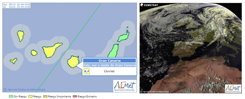
While most people did a double take when they saw the alert, it is genuine and is caused by a band of cloud moving south towards the islands and currently between the Canaries and Madeira to the north.
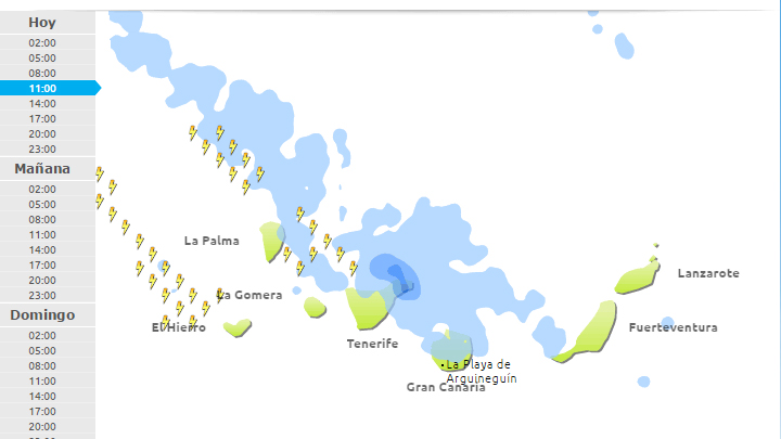
The actual forecast is for clouds throughout the day along with intermittent showers and some stronger showers. The rain is expected to start at around 11.00 in north Gran Canaria and to last on-and-off throughout the day.

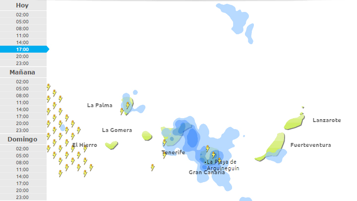
The strongest rain in the resort areas and the south of Gran Canaria is forecast for the afternoon from 17.00, although exact forecasts here are tricky.

A yellow alert in the Canary Islands means that the maximum amount of rain expected during the next 24 hours is 15mm of water per square metre; Just over half an inch. While this may not seem much by European standards, it's a freak amount of rain for September in the Canary Islands. This is normally one of the driest and hottest months in the Canary Islands and is still very much part of Canarian summer.
While there may be some grumbles on the resort beaches, a break in the hot weather will be welcomed by many here in Gran Canaria and a bit of rain will definitely freshen things up.
The forecast for Saturday is a return to dry conditions with just a bit of cloud in the sky. See you on the beach.


